Hiking Trails in the Great Smoky Mountains
Discover breathtaking hiking trails in the Great Smoky Mountains. Traverse picturesque landscapes, lush forests, and waterfalls. From easy strolls to challenging treks, these trails offer something for every adventurer.
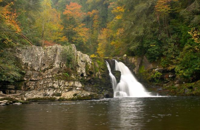
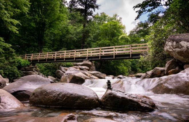
Abram Falls
Embark on an unforgettable adventure to Abrams Falls in Cades Cove - a breathtaking 20-foot waterfall located amidst one of America's most treasured national parks. Find out just how easy it is to experience this magical spot for yourself!
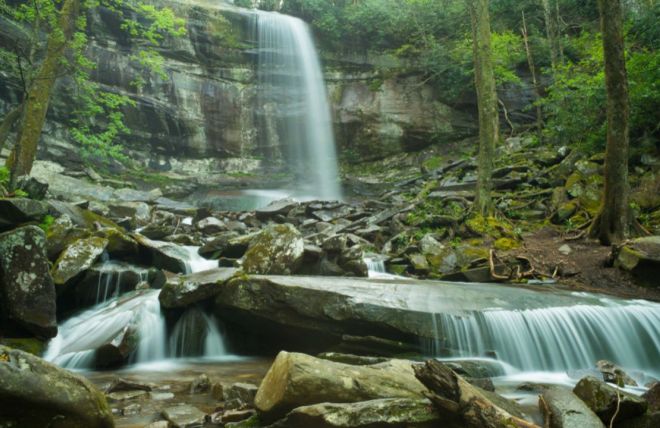
Ramsey Cascades
Make lasting memories on your next hiking adventure! Explore one of the most iconic national parks with a journey to Ramsey Cascades. Get ready to immerse yourself in lush wilderness, gorgeous scenery, and crisp mountain air.
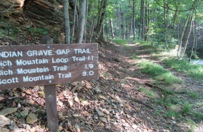
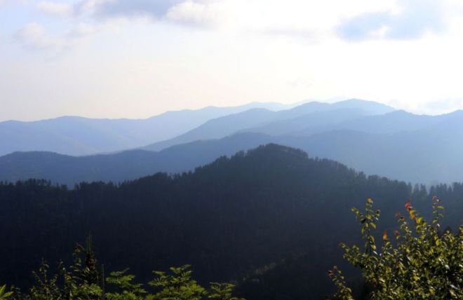
Rich Mountain Loop
Experience a captivating hiking adventure on the Rich Mountain Loop trail, located within the breathtaking landscapes of the Great Smoky Mountains. With over 8 miles to explore and awe-inspiring views of distant peaks and lush foliage, this is an unforgettable hike no nature enthusiast should miss!
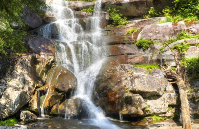
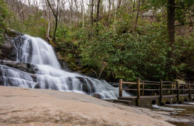
Grotto Falls
Experience the captivating beauty of nature on a journey to Grotto Falls in Tennessee’s Great Smoky Mountains. With fascinating sights and experiences around every corner, it's an adventure that you won't soon forget!
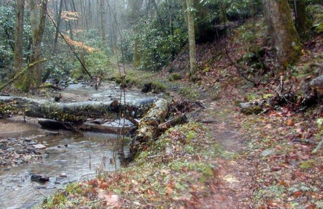
Porters Creek Trail
Experience awe and wonder on the captivating 4 mile round trip hike of Porters Creek trail within the stunning landscapes of Great Smoky Mountains National Park. Uncover hidden remnants, lush greenery, babbling streams, and more!
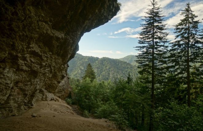
Alum Cave
Take a journey of discovery and explore one of the most iconic hiking experiences in the Great Smoky Mountains. Come experience nature's splendor at Alum Cave, where you can immerse yourself in its enchanting beauty!
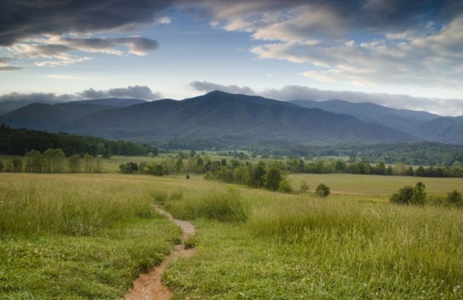
Cades Cove Nature Trail
Spend an unforgettable day exploring all the Smoky Mountains has to offer. Experience captivating wildlife, breathtaking landscapes, and centuries of history on the renowned Cades Cove Nature Trail.
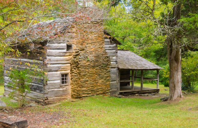
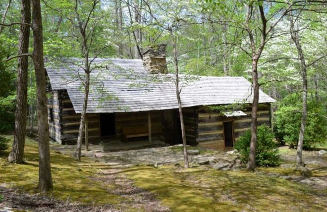
Little Brier Gap Trail
Take a peaceful journey through nature's wonders with an unforgettable experience on the Little Brier Gap Trail. With its diverse flora, rich history, and breathtaking scenery, you'll enjoy every minute of this adventure!
The Gatlinburg Trail
Experience all the beauty and tranquility of America's treasured Smoky Mountains with a hike along the Gatlinburg Trail. From historical landmarks to breathtaking views, this 3.8 mile journey is easy yet unforgettable!
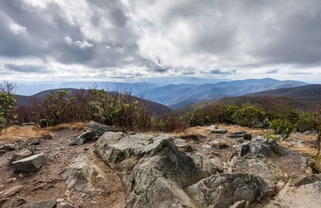
Boulevard Trail
Explore one of North America's most majestic landscapes on the incredible 15-mile Boulevard Trail. Discover hidden forests, sweeping valleys, and towering peaks as you make your way along this unforgettable journey through the Great Smoky Mountains National Park.
Rocky Top Trail
Explore one of America’s most beautiful national parks with a visit to Tennessee's famous Rocky Top Trail. Discover gorgeous views, rugged terrain and serene forests on this scenic hike that will take your breath away!
Beard Cane Trail
Whether you're a first-time hiker or an experienced explorer, experience a memorable journey like no other at the Beard Cane Trail. Connect with nature and explore its diverse terrain, breathtaking vistas, and abundant wildlife!
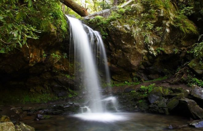
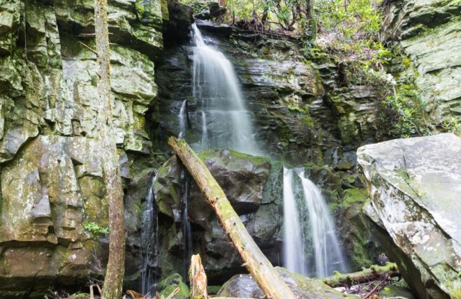
Laurel Falls
Uncover a breathtaking adventure as you hike to Laurel Falls, located in the Great Smoky Mountains National Park. Enjoy lush foliage, serene waters and awe-inspiring views along your journey.
Baskins Creek Falls
Explore the natural beauty and serenity of Great Smoky Mountains National Park by hiking to Baskins Creek Falls. Conveniently located near Gatlinburg, this iconic destination offers scenic vistas, tranquil streams, and awe-inspiring cascading waterfalls!
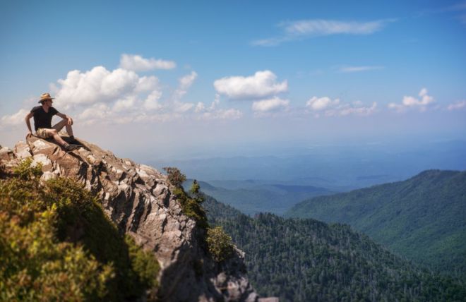
Charlies Bunion
Explore awe-inspiring beauty and exhilarating adventures on the trail to Charlie's Bunion. Discover why generations of hikers are drawn to this incredible natural wonder in Great Smoky Mountains National Park.
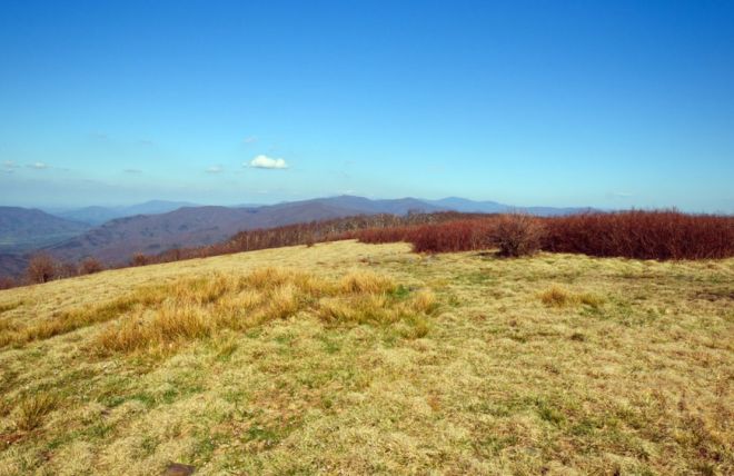
Gregory Bald
Explore pristine natural landscapes and relish captivating views atop Gregory Bald. Take a journey through lush forests, marvel at vibrant wildflowers, and watch streams meander by on your way to this picturesque mountain peak.
Rainbow Falls
Visit one of America's most unique natural wonders, Rainbow Falls in the Great Smoky Mountains. Go on a breathtaking journey to experience an 80 foot waterfall and rainbows created by sunlight dancing off its misty spray!